Stop trimming every circuit in turn. Send the crews to the spans that are grown in.
Powerline Vegetation Monitoring scores canopy against the conductor for every span on your circuit from annual very-high-resolution imagery, and hands you a worklist ranked by fall-in risk, keyed to your own span IDs.
- GSD
- ≤0.5 m (VHR)
- Cadence
- Annual
- Platform
- VHR satellite / aerial
- Spectral
- RGB + NIR
- Reported by
- Span
When the rotation reaches a circuit that didn't need it
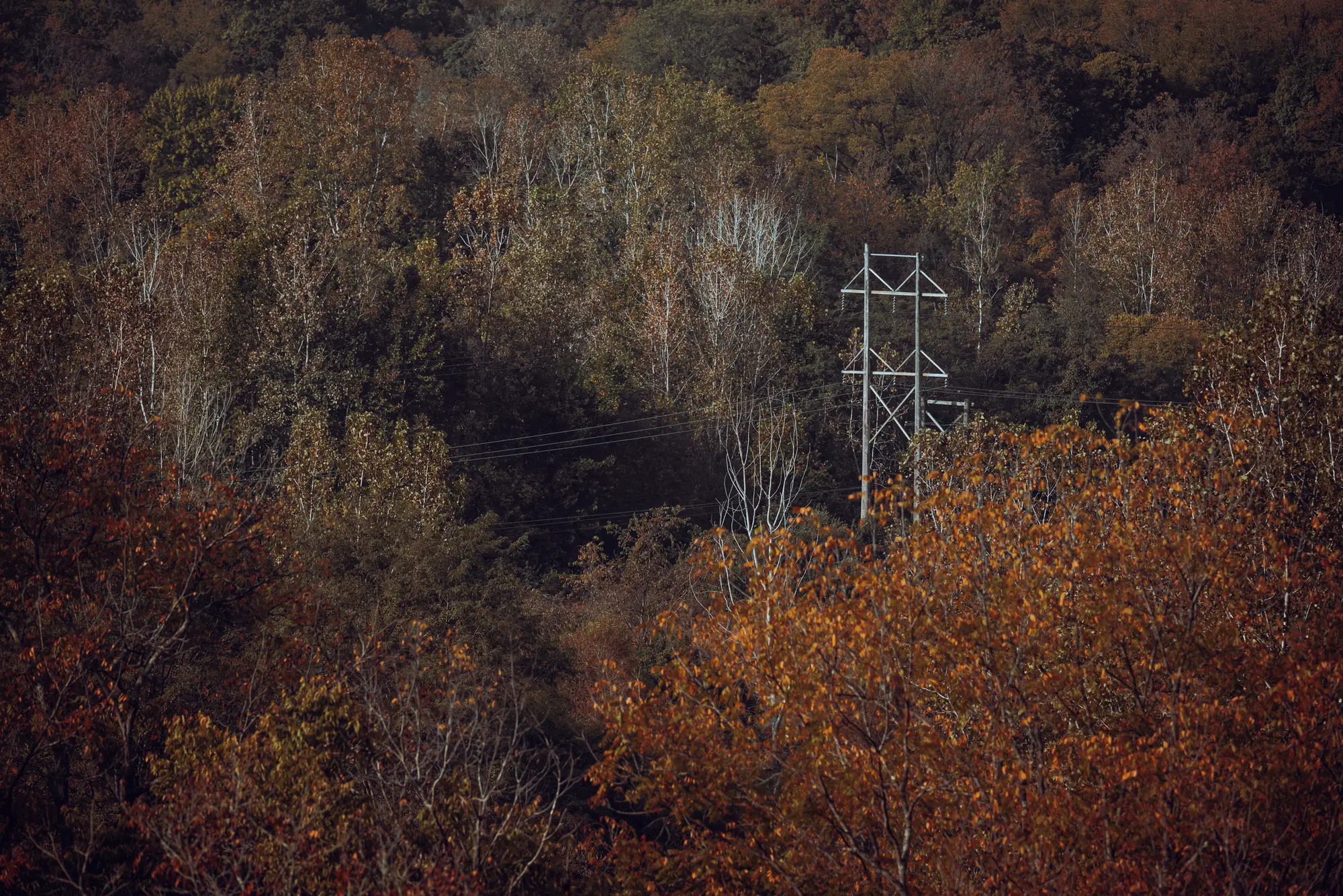
Your trim cycle sends a crew to the next circuit in the rotation. Some of its spans are clear and some have canopy pushing into the clearance zone, and the crew works the whole run either way. Meanwhile a circuit far down the rotation has one span where a stand along the right-of-way edge has grown tall. The program hears about it when a patrol notes it or a line trips.
The work plan is set from last cycle's records and whatever the patrollers and the outage log remember. It is a calendar, and the calendar does not know where the trees have grown.
The cycle and the ranked worklist, step by step
01Choosing what gets trimmed this year
The rotation decides. The circuit due this year is worked in full, and circuits outside the window wait for their turn unless something forces an early visit.
Every span on the circuit is scored for canopy against conductor position from the year's imagery, so you can see which circuits carry the spans that are closest to the line and plan the year around them.
The budget, the contractor contracts and any cycle obligations your own program sets.
02Finding the problem spans
Patrol notes, outage tickets and what the foreman remembers from the last pass. Fast growth between visits stays invisible until someone drives it.
Segmented canopy height and proximity to the conductor give every span a score, and the highest ones show as hot spots on the layer.
03Writing the crew's work package
A planner builds the package circuit by circuit from the rotation, then adds spans that came up in patrols.
A CSV of spans ranked by fall-in risk, with your span IDs carried through, can be pasted into the package worksheet or loaded by your planner.
04Sending the crew
The crew starts at one end of the circuit and works to the other.
The crew starts at the top of the list and works down as far as the budget and the season allow.
The decision on the ground. The foreman confirms every span before a saw starts, and decides the prescription, the species handling and any access or permit issue.
05Watching what grows between visits
Only the next patrol or the next outage shows it.
A new pass each year re-scores every span, so a span that has tightened since last year moves up the list. Between passes, nothing new is captured.
A shorter internal cycle for spans in fast-growing stands, and the patrols you already run.
What comes back each year
- F1
Span encroachment score
GeoPackage or shapefileA score on every span in your circuit layer, keyed to your span IDs. Serves the "finding the problem spans" row. It opens in ArcGIS or QGIS beside your existing circuit layer.
- F2
Canopy height layer
GeoTIFFThe segmented canopy, separated from bare ground and structures with the help of the near-infrared band, with height read against conductor position. Serves the "choosing what gets trimmed" row.
- F3
Ranked worklist
CSVSpans in order of fall-in risk, one line per span, ready for the crew's work package. Serves the "writing the crew's work package" row.
- F4
Hot spot flags
Layer attributeThe top of the ranking marked on the map, so the spans that should go out first stand out from the rest of the circuit.
How it works
- 01Before the pass
Load your circuits and span IDs
To start, send the circuit and span layer with your IDs, along with conductor positions if you keep them. The IDs carry through to every file that comes back.
- 02Clear-sky window
The annual pass
We capture VHR imagery with a near-infrared band over the corridor at the clearest point of the year the calendar allows, and agree the date with you against your crew schedule.
- 03After capture
Canopy read against conductors
Canopy is segmented and its height and distance from the conductor scored span by span.
- 04Before contracting
Worklist delivered
The ranked CSV and the map layers arrive before your contractors are engaged, so the list is the thing the work packages are built from.
Limits
What the pixel can see
At a ground sample distance up to half a metre, a tree crown is many pixels across but a conductor is a fraction of one. Conductor position comes from your line data, not from seeing the wire. A single branch or a dead limb is not resolved.
Canopy cover and shadow
Where a dense stand hides ground or deep shadow falls across a span, the read is weaker. Those spans are marked low-confidence instead of being scored on a guess.
Clouds and the clear-sky window
Optical imagery needs a clear day. A cloudy season can push the annual pass later.
Once a year
Growth between passes is not captured, and fast-growing stands can close up well inside a year. Keep a shorter cycle where you know they do.
Canopy proximity only
The score reads canopy against conductor. It does not identify species, predict growth rate or judge the health of a tree, and a tree's lean or root condition is invisible from above.
A ranking, not a certificate
This orders your work. It does not replace ground inspection, patrols, or any clearance reporting your regulator requires, and it does not prevent outages.
Who it's for
Switch if
- You run a vegetation management program and set crew dispatch yourself or through a contractor.
- You keep circuit and span IDs in a GIS layer and want a ranked list that uses them.
- You have circuits where the rotation sends crews to spans that don't need them.
Stay on the cycle if
- You need a certified clearance record from the imagery itself.
- You need species, growth-rate or tree-health calls.
- You want continuous monitoring between annual passes.
- You have no span or circuit layer and don't want to build one.
Questions before you switch
Does this replace ground inspection?
No. It says where to look first. Your foreman still confirms every span before crews cut.
Does it replace our trim cycle?
It can replace the fixed rotation with a ranked queue, or sit next to it as a second view of the circuit. You choose how far to go. The contract structure stays yours.
How does the near-infrared band help?
It helps separate living canopy from bare ground, roofs and other structures, which makes the height and proximity read cleaner.
How do we check it against our own records?
Choose a circuit your foremen know well and hold back the patrol notes. Compare the ranked spans with what they would have picked, and decide whether the ranking is good enough to plan with.
Can it match our span numbering?
Yes. You supply the span IDs and they carry through unchanged to every file.
Does the score account for species?
No. It scores canopy against conductor. A fast-growing species is not treated differently from a slow one.
What about growth between passes?
An annual pass does not see it. Spans in fast-growing stands may need a shorter internal cycle from you.
Will the files load into our systems?
The layers and the CSV are ordinary GIS and spreadsheet files. We don't write into your work management system.
Who owns the results and the imagery?
Ownership and licence terms for the deliverables and the imagery are set out before anything is ordered. If your legal team needs to see them, ask early.
How is it bought and priced?
The quote depends on circuit length and the imagery source. Tell us how your utility buys services and we'll scope around that.
Get your circuits scored before the next crew schedule is set.
Send us the circuits and span IDs you'd start with, and when your work packages are due.
Get started